The DGEI recommends caution and extreme caution
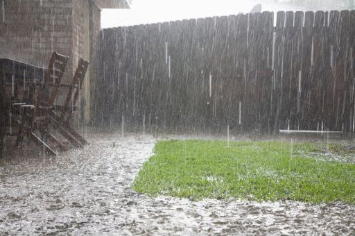
The Directorate General of Emergencies and Interior has activated the operational situation 1 of the Special Civil Protection Plan against the Risk of Floods of the Autonomous Community of the Balearic Islands (INUNBAL), as well as the IG1 of the Special Plan to face the risk of adverse meteorological phenomena (METEOBAL) in all the Islands, due to the forecast of heavy rains and storms from this afternoon onwards. This activation has been carried out in response to information received from the territorial delegation in the Balearic Islands of the State Meteorological Agency, according to which accumulated rainfall of up to 50 l/m² is forecast for today and up to 80 l/m² tomorrow. The forecast also warns that strong winds with gusts of over 90 km/h may be recorded.
TDB keeps you informed. Follow us on Facebook, Twitter and Instagram
The Directorate General of Emergencies and Interior activates the operational situation 1 of the INUNBAL given the episode of rain and storms
To anticipate the situation that will develop in the coming hours and coordinate possible joint actions, the Director General of Emergencies and Interior, Sebastián Sureda, has brought together the Technical Support Group of the Plan with representatives of all the organisations involved in this type of episode: AEMET, Mallorca Fire Department, Palma Fire Department, Menorca Fire Department, Formentera Fire Department, Ibiza Fire Department, CNP, Government Delegation, DG Ports and Airports, DG Water Resources, EMAYA, ENDESA, Civil Guard, IBANAT, Palma Local Police, Ports of the Balearic Islands, Red Eléctrica de España, RiscBal Observatory and ISPIB.
The Balearic Institute of Nature (IBANAT) has announced that the camping areas of sa Font Coberta, Marjanor and Pixarells (all located in the municipality of Escorca), as well as all the shelters managed by IBANAT in Mallorca, will remain closed until Thursday, once the alert has ended and the facilities have been checked. Likewise, PortsIB will close all buoy fields from today at 18:30 h and, for the time being, until Thursday at 18:30 h.
Given this forecast, Emergencies 112 advises to follow these self-protection tips:
Stay away from torrents and do not stay on bridges, as they may collapse and drag you down.
Use the telephone sensibly. Do not jam emergency lines.
Be prepared to leave your home if the situation requires it, and follow the advice of the competent authorities.
Preferably travel on main roads and motorways.
In the countryside, do not take shelter under trees, especially if they are isolated.
Stay away from fences, gates and other metal objects.
If you are driving and are caught in a storm, remember that an enclosed vehicle can be a good shelter. In any case, slow down, use extreme caution and do not stop in areas where large amounts of water can flow through.
In the city, buildings are protected from the risk of lightning strikes.
Avoid places where branches, walls, billboards, street furniture, cornices and buildings under construction are likely to fall.
At home, make sure that there are no draughts, as they attract lightning. It is therefore recommended to close doors and windows in the event of a thunderstorm.
It is also advisable to protect electrical appliances, computers, etc., by unplugging them to prevent them from being damaged by a power surge or causing electric shocks.
Stay away from promenades, breakwaters and cliffs.
Avoid practising any kind of water sports; and if you have a boat, secure its mooring.
